Connecting route on the Volkhov River, May 1942
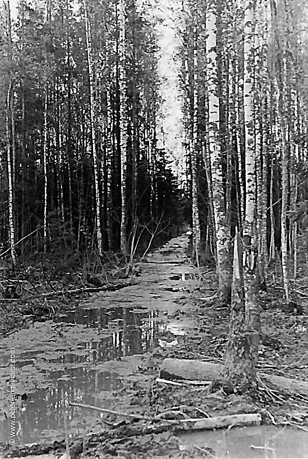
This is what the paths in the combat zone looked like in the spring during the annual flooding of the Volkhov River. Due to the terrain’s slight gradient and the melting snow, the backed-up water created vast marshlands along both banks of the river.
The image "verbindungsweg-am-wolchow--mai-42.webp" illustrates the extreme conditions of the paths in the Volkhov combat zone during the spring. Driven by the annual snowmelt and the gentle slope of the land, water accumulated along both riverbanks, transforming the surrounding area into expansive marshlands that posed a massive obstacle to any form of military movement.
The photograph vividly documents how the ground lost its load-bearing capacity during this season, turning into an impassable quagmire. These geographical conditions made troop advances and supply operations a constant logistical challenge; even the simplest paths in the wet forest environment literally sank into the swamp under the impact of the elements.
The visually distinct text was created in July 2026 with the help of the AI Gemini. - Page translated with Google.
© Peter Engelhardt, www.peter-engelhardt.com. All rights reserved.


