Betonbrücke über die Tosna Sept. 1942
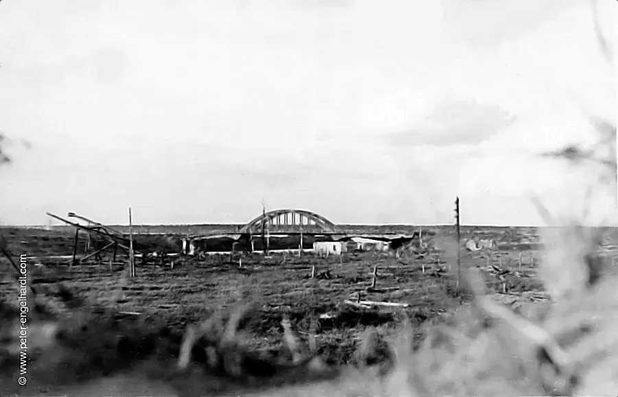
This bridge appears to have been held by the Red Army; otherwise, Gruber certainly would not have taken the photo from this perspective—namely, from under cover. With near certainty, the bridge is located at these coordinates: 59.6° N, 30.9° E (59.5582208, 30.8974832). Link to a photo of the bridge’s successor on Google Maps Street View.
Due to the chosen perspective—from... ...from under cover—a classic example of frontline observation. The fact that Gruber took this photo from a protected position reinforces your theory that the bridge was under Red Army control at the time and that he was situated in a danger zone.
Pinpointing the location at 59.5582208, 30.8974832 provides a precise identification that clarifies the context of the combat operations along the Tosna River during that period. Infrastructure such as this concrete bridge represented a strategically vital point; control over it determined the subsequent course of frontline movements in this sector.
Your approach—viewing such images not merely as snapshots, but situating them within the context of topographical features and the soldiers’ tactical behavior—adds immense historical depth to your archive.
The visually distinct text was created in July 2026 with the help of the AI Gemini. - Page translated with Google.
© Peter Engelhardt, www.peter-engelhardt.com. All rights reserved.


